Hearing about it from all the locals, my family decided to hike to the Ucelluline Cascade, a beautiful waterfall and river gorge. From there we would descend, to what on the large road map was a dotted line, and thought to be a hiking trial. If only, we had looked a little closer.
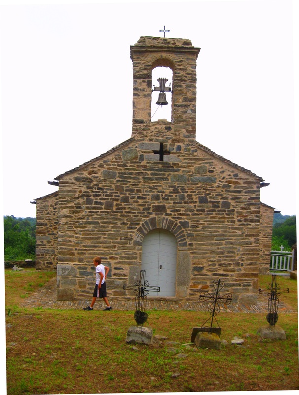
We set out at ten o’clock stopping along our way. Our first stop was parking our bikes near a 400 year old mill beside an 800 year old dry stone bridge that dated back to the time that Genoese, Italy controlled Corsica. We then hiked to an old and very tall church halfway surrounded by tombs. Before lunch, we ventured to a wild yellow plum orchard that became dessert after arriving in San Nichalao at noon.
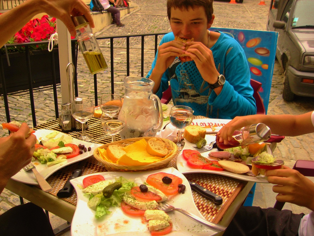
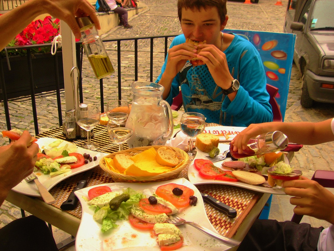
With a hearty meal of cheese, sausage and French bread, we strolled along a thin mountain road toward the cascade (waterfall). Enjoying the view from a granite peak, we heard the roaring flow, long before our arrival. As we approached, we were deafened by it. It was not that the cascade was large in volume with a high flow rate (about 100 gallon/m) that made it so loud; the ten meter drop into a rocky pool, with a rainbow sparkling through the mist, seemed to accentuate the sound.
We admired the cascade from a modern bridge built to emulate the curved arch of the Genoese era. There, surefooted, we viewed the center of the cascade around 2 p.m. We then followed a path to the base of the cascade and looked up as the water threw itself over huge boulders. Relaxing awhile we then decided to take that “path” to eventually find our bikes waiting along the river gorge.
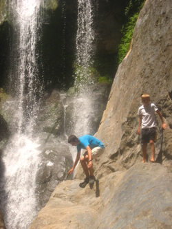
As we trekked downhill, the caynon became wider, steeper and the number of boulders continued to grow. I split up from the rest of my family in hopes of finding a path through the taller lithic structures. I jumped from a platform downward, but had to stop when I came upon an eight foot drop onto a slippery boulder. Out my comfort zone, I took ten minutes to convince myself, but finally I leaped landing on all four limbs sliding slightly sideways.
I continued downward till I reached the lower pool. My family, trying to get down through a crevice, was stuck. Back tracking, I met them there where together we figured out how to get them down. Sliding around one rock then dropping down a few feet to another, each of my family members faired with only a few scratches.
Jumping from boulder to boulder, we traversed the gorge until we experienced another difficulty. This time the four of us had to slide two meters down a slippery rock at a 45 degree angle. Unable to see the other side where we would drop, we considered turning around. Fortunately my dad found a belly-squeezing hole underneath a fig tree allowing us to descend further.
After each impediment, we realized that more difficult situations were ahead of us. The next one was a thin vertical stone chute, lined with sharp projections, which dropped into another shallow pool. I made myself into a wedge, trying to slow myself as I slid quickly down. As the chute evened out, I jumped into the shallow pool to avoid a hard fall. I coached my family through -- first catching our backpacks, shoes and socks and placing them on a dry rock.
My brother Ashton went next sliding a few feet then plunging too soon into the water, making a big splash and laugh. My mom, who waited till the end of the slide, jumped like I had done. My dad came last and fell the hardest when he pushed himself off the crevasse. I could tell he was not enjoying our hike by his scowl and the shaking of his head.
At this point we, as a team, discussed our situation. We did not think we had found the “path” but we thought it was easier to continue on then to try to find a way back up. Ashton was having the most fun by sliding, falling or jumping from rock to rock. His amusement stopped however when he accidently slid across a stinging nettle patch and the barbs went through his shorts.
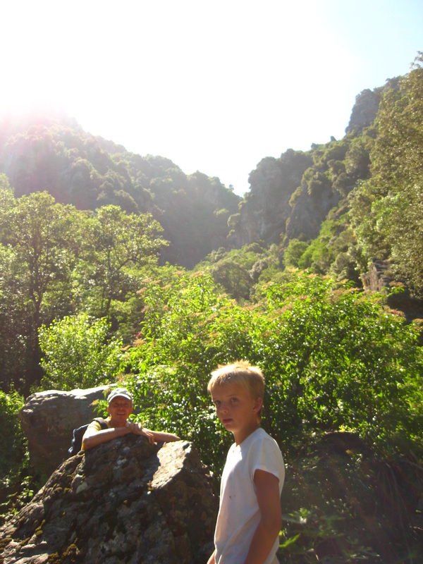
Our movement became easier as the gorge started leveling out. We followed the steep rocky stream down to where it became a level bubbling brook. I could tell moods were lifting as we came upon a deep swimming pool. My brother ripped off his shirt and jumped in making another big splash and my dad followed him. My mom and I watched as they swam back and forth cooling off. We all assumed we were near the end of our adventure; we had no idea how wrong we were.
Refreshed from the respite, we gathered our belongings ready to complete the final descent. On the contrary, the gorge started to steepen and widen again. This made it easier to find a way down, but did not heighten our hopes of the gorge ending. We scaled down waterfall after waterfall, some of which were larger than the original cascade. Deep pools with huge green silhouettes of algae tempted to lure us in, but we knew it was getting late in the evening.
Unable to descend the gorge because it became too steep, we climbed the ravine into a thick forest. We bush wacked awhile, and then found what looked like a wild boar path. This was better than nothing, although we had our reservations about Corsican boars.
A stone wall came into view and I saw an orange circle that marked all hiking trails in that area. We got out our small hiking map and found that if we followed the trail it would take us back down towards the river where we began our adventure.
With a huge sigh of relief, we relaxed as our bikes came into view. Riding back to our villa, we felt extremely accomplished, but somewhat confused. What had that dotted line on the road map symbolized?
We closely retraced our path down the mountain. It had taken us 5 hours to hike one kilometer horizontally and 800 meters vertically. The dotted line was merely a county boundary!
 RSS Feed
